13. Zugerberg - Gnipen & Wildspitz
- 8.86km
- 615m
- 5.0
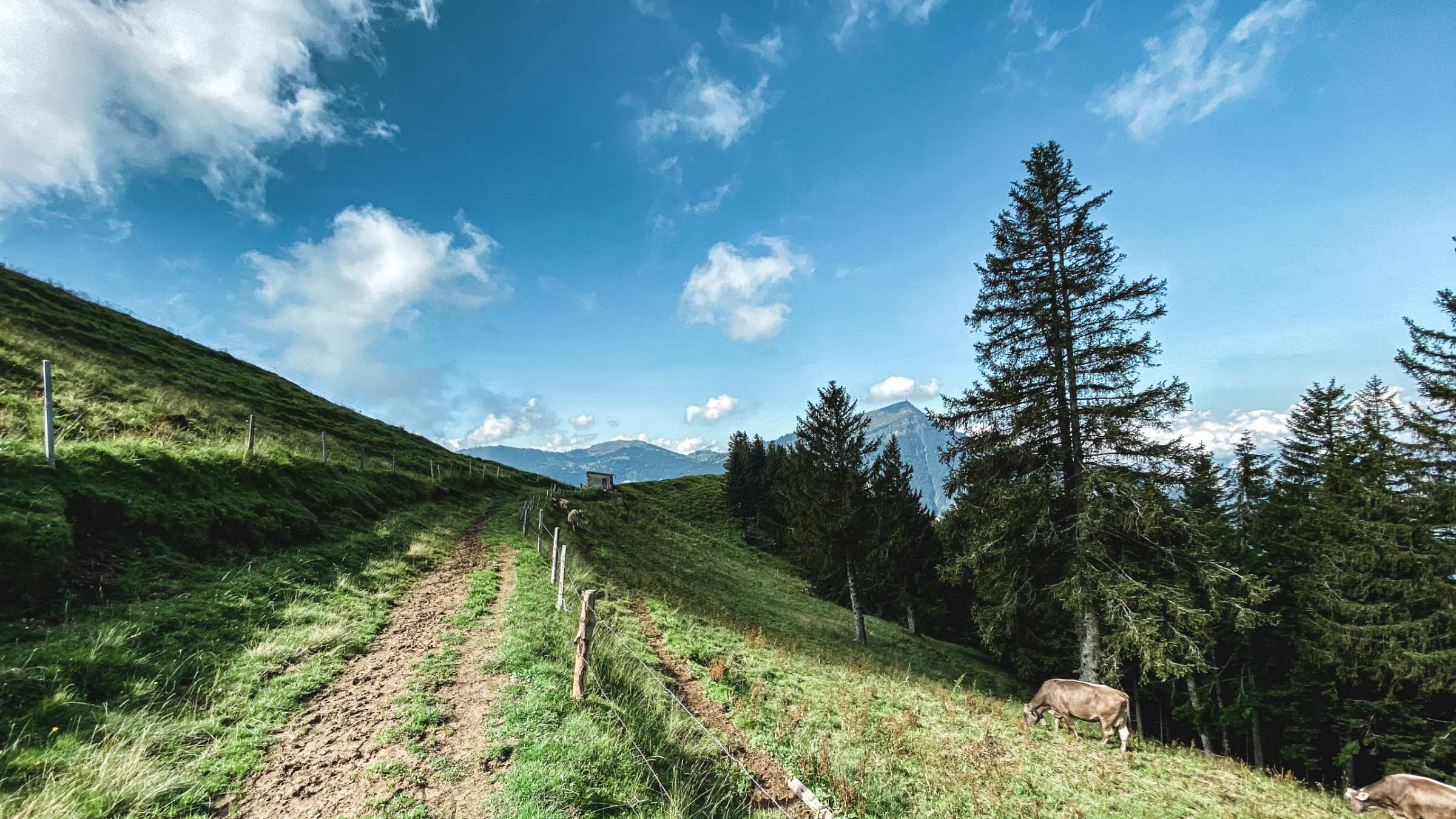
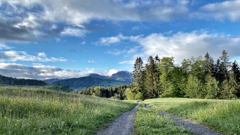
This trail is probably the most technical and challenging one in the whole canton, but the rewards are high. Due to the special vegetation, this area is now under strict plant protection so please stay on track. The trail can very easily be broken down into two equal parts, The uphill and the downhill. Departing from the Parking lot, part one is uphill on single trails in varied terrain. This part is slow-going mainly hiking only the most determined can run it, so no pressure. There are 2 options, go straight on the short but technical way This way is challenging, and slow going as you carefully step on and between boulders. Or extending the way towards Arth and following the easy path. You'll climb steadily on the trail for about 4km before reaching the first summit on a zigzag path, the 1567 meter Gnipen.
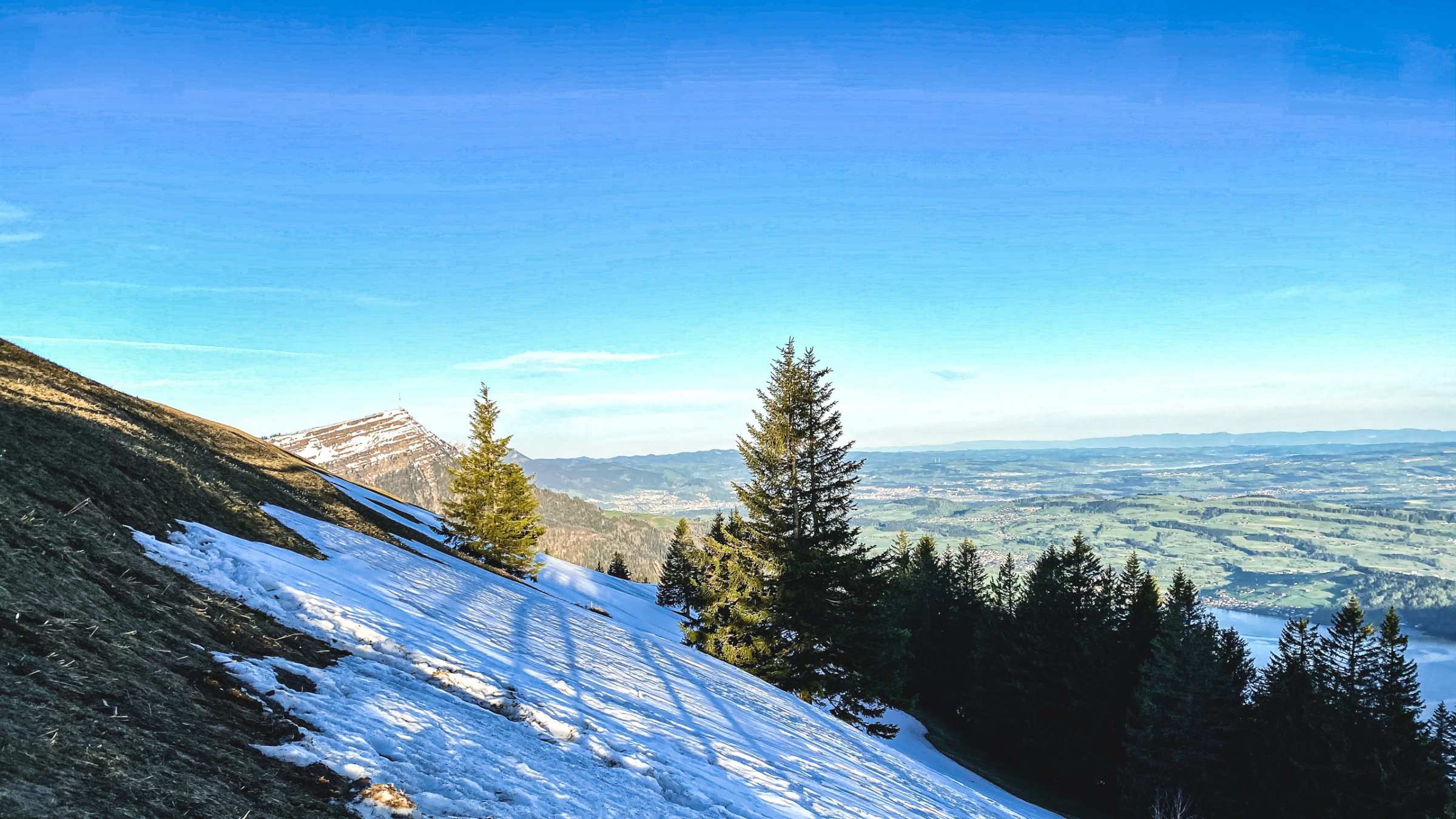
Looking towards the south the ‘Goldau landslide’ can be clearly seen from the Gnipen. On September 2, 1806, around 30-40 million cubic meters of rock loosened from the Gnipen's Nagelfluh shoulder and plunged into the valley, destroying the villages of Röthen, Buosingen and Goldau.
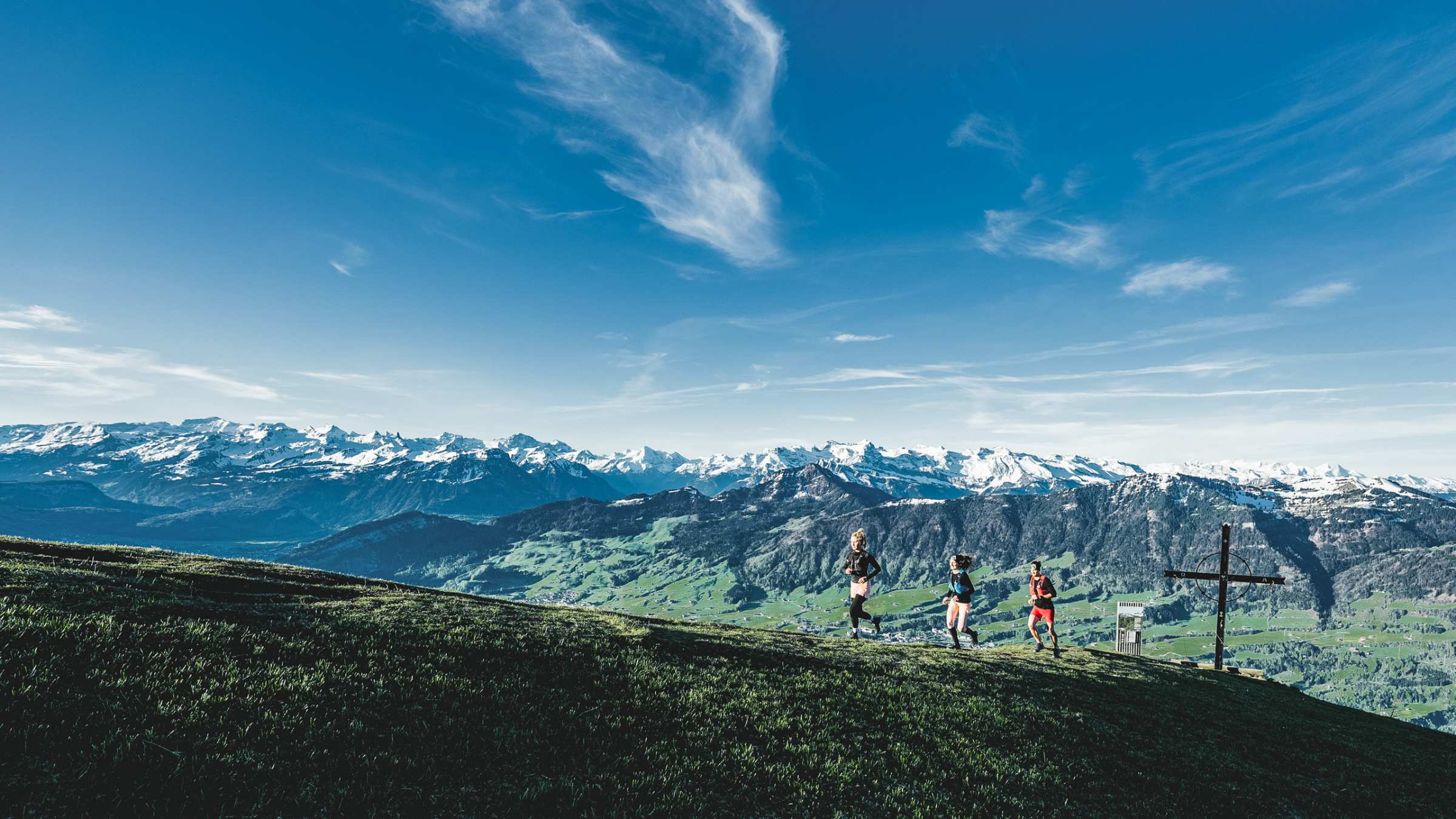
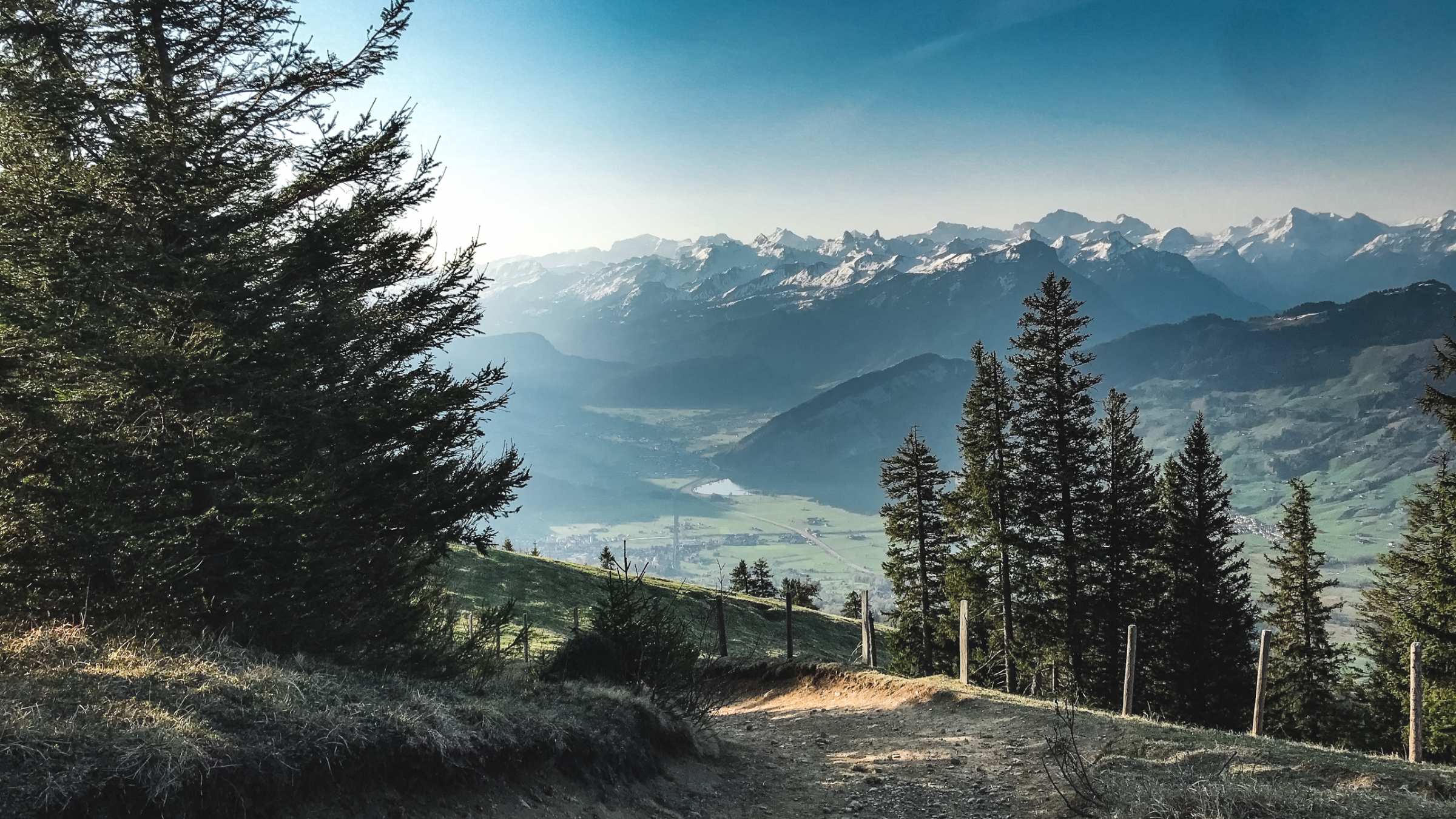
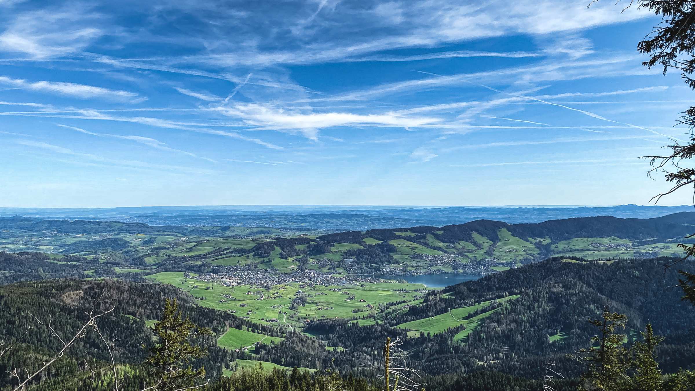
At Gnipen you can gape at a view of so much of the Alps, Lauerzersee and the Rigi before continue on your way towards the Wildspitz. A grassy ridge leading directly to the trail in the direction of the Wildspitz. Wildpsitz and Gnipen are connected with a wide forest road among the trees starting with a short downhill followed by a barely noticeable climb, to the peak.
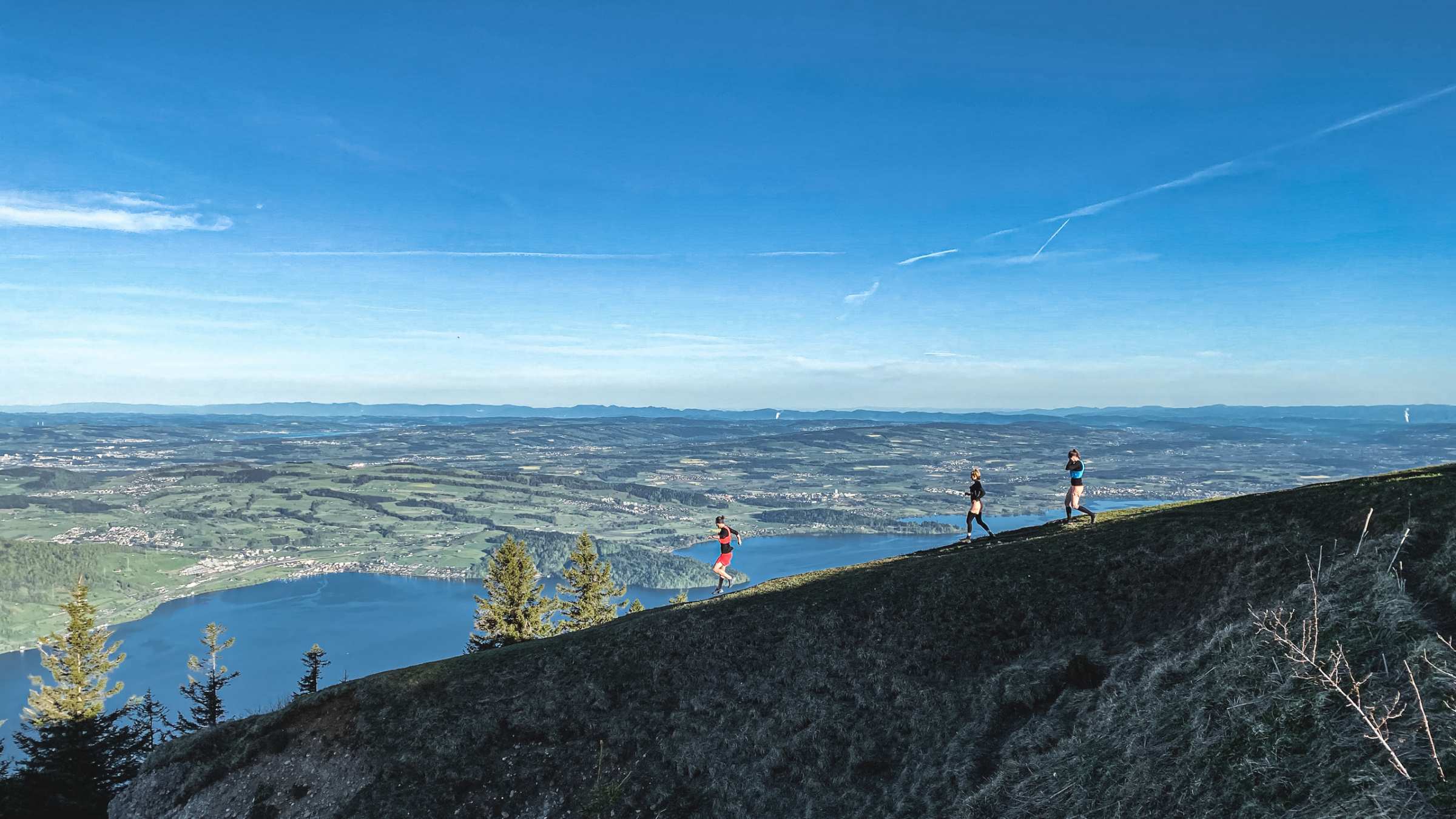
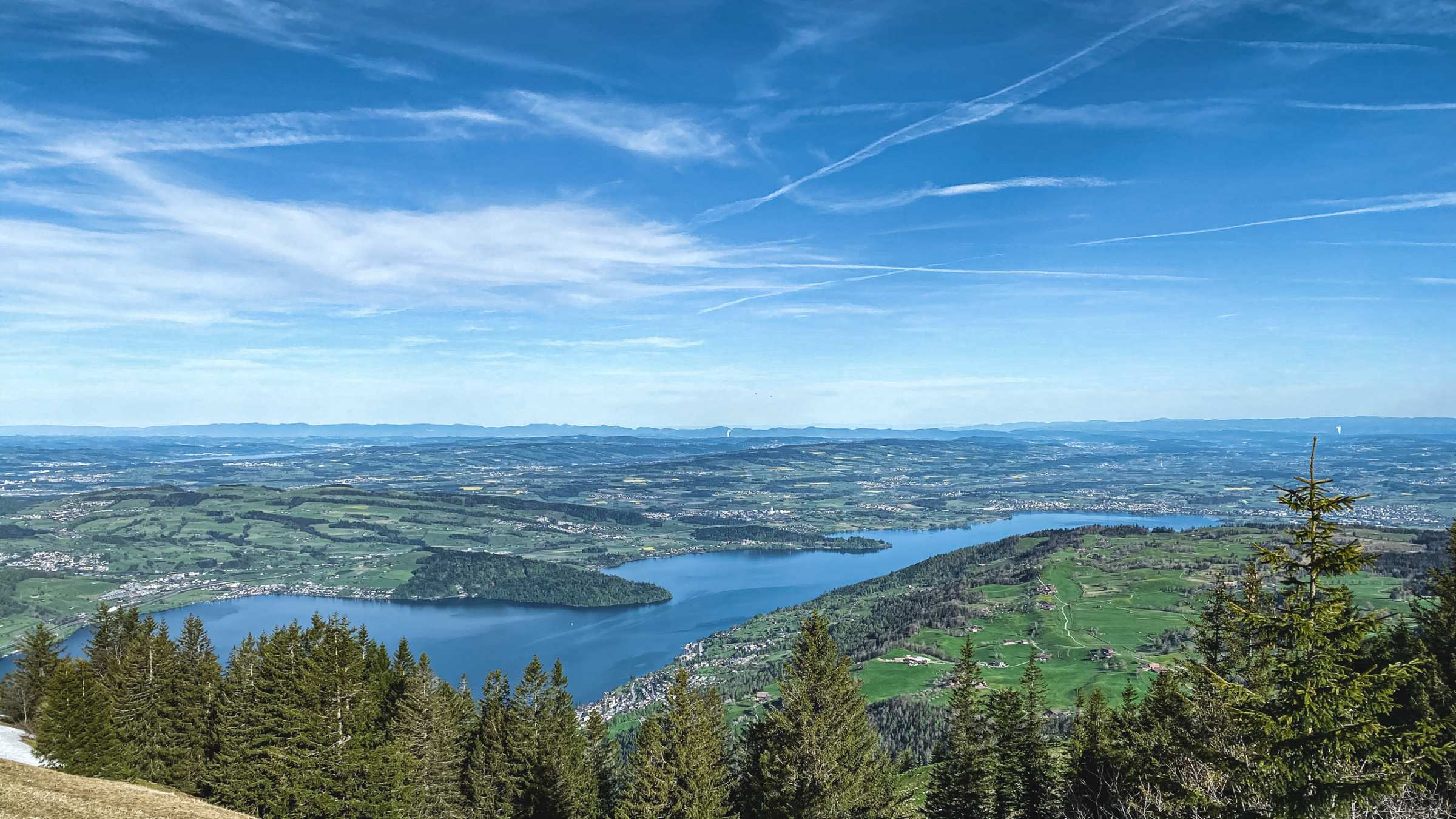
The summit of the Wildspitz also provides big views, 360 degrees. From the summit, you'll descend towards the East following the main forest road. The way down is mainly obstacles free and allow you to keep a quick and steady speed on the north side of the mountain accompanied by beautiful views of Lake Zug and the Zugerberg.
We highly recommend starting this trail in the pre-dawn, to time your arrival to the Gnipen with the sunrise. The views of the Berner Oberland 4000 meter peaks, including the Jung Frau Monch & Eiger, are well worth the early start.
Please inform yourself in advance about the route and weather conditions. Depending on the season and weather conditions, this route may be blocked or interrupted.
View the Wildspitz Webcam here
| Distance | 8.86 km |
| Ascent | 615 m |
| Descent | 614 m |
| Max. Altitude | 1580 m |
| Terrain | Path |
| Difficulty | Hard |
| Trail type | Loop |
| Category | Technical |
The Trail starts at the Langmosli parking lot. You can make your way there taking the Zugerbergbahn and walk or run to the trailhead.
View on Google MapsDue to the special vegetation, this area is under strict plant protection so please stay on the track.
